Planning ahead helps you choose the right season, prepare your equipment, and understand the travel arrangements. Before booking, confirm the starting point, campsite, package inclusions, and daily trekking distances.
Nag Tibba Trek from Dehradun
Dehradun is the usual pickup point for organized Nag Tibba trekking packages. From the city, travelers drive towards Pantwari Village, where the trek begins.
By Air: Jolly Grant Airport is the nearest airport, approximately 30 km from central Dehradun. Travel times can vary depending on traffic.
By Train: Dehradun Railway Station is connected to several major Indian cities, including Delhi.
By Road: Regular buses, taxis, and private vehicles connect Dehradun with Delhi and other nearby cities.
For a smoother start, consider arriving in Dehradun the previous evening. If your package includes a pickup, confirm the reporting time and exact meeting point with The Mountain Hike.
Nag Tibba Trek from Delhi
Travelers planning the Nag Tibba Trek from Delhi can first reach Dehradun by train, bus, or private vehicle. The onward journey continues by road to Pantwari Village, followed by the trek to the campsite and summit.
A practical plan is to travel to Dehradun the night before the trek and arrange an overnight stay if required. This helps reduce the risk of missing an early-morning pickup because of traffic or travel delays.
The total travel time depends on the chosen transport, traffic, and road conditions. Check your departure schedule before making connecting travel arrangements.
Nag Tibba Trek Distance
The nag tibba trek distance is approximately 14–15 km for a commonly offered two-day route, although the total varies with the campsite and trail selected. The first day generally involves a shorter uphill walk from Pantwari, while the second day includes the summit climb and descent.
The distance alone does not determine the difficulty. Trail conditions, elevation gain, weather, and the weight of your backpack also affect how challenging the trek feels.
If you prefer exploring open alpine meadows, the Dayara Bugyal Trek is another beautiful trekking option in Uttarakhand.
Nag Tibba Trek Height
The nag tibba trek height is approximately 9,915 feet (3,022 meters) above sea level. This relatively moderate summit elevation makes Nag Tibba an accessible option for many beginners compared with more demanding high-altitude Himalayan treks.
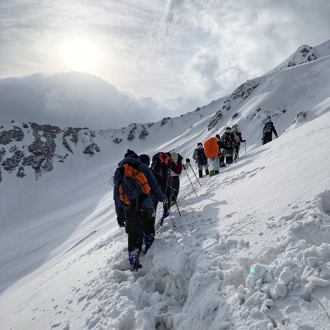
However, the climb still requires physical effort. Snow, rain, cold temperatures, and slippery sections can increase the difficulty, so trekkers should follow local guidance.
Nag Tibba Trek Weather
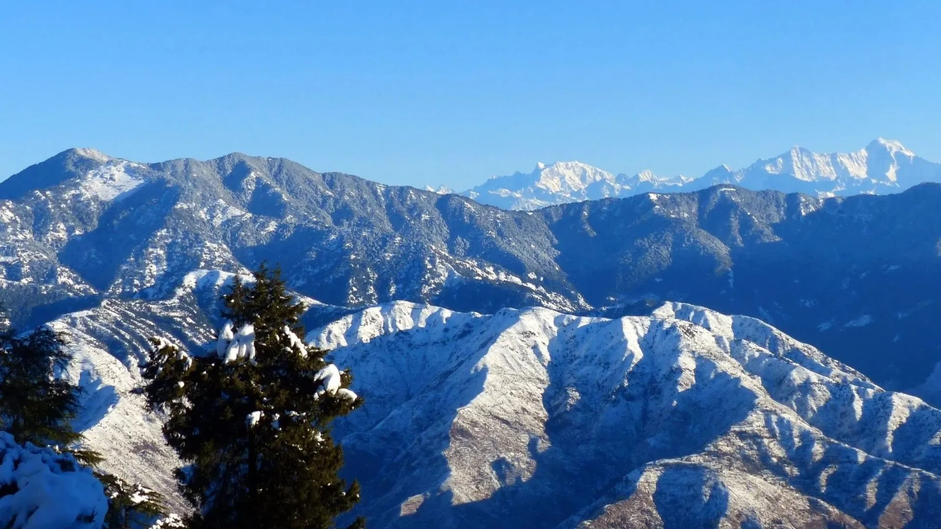
The nag tibba trek weather changes considerably throughout the year. Spring and summer generally offer comfortable daytime conditions, autumn often provides clear mountain views, and winter brings colder nights with the possibility of snowfall.
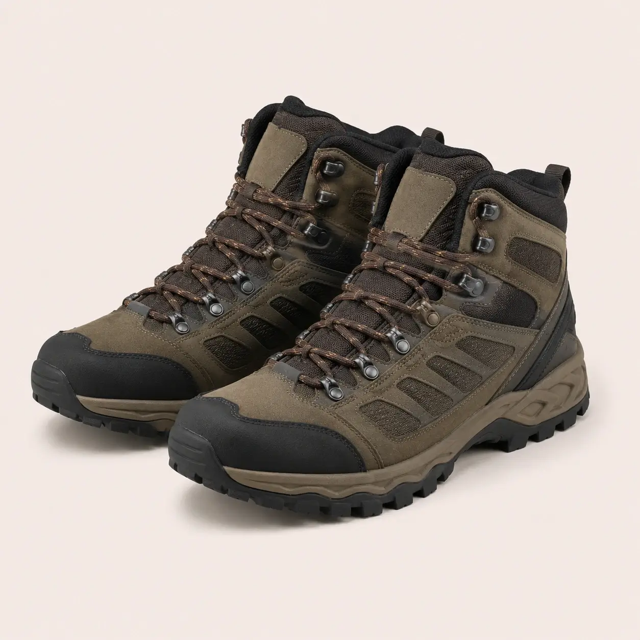
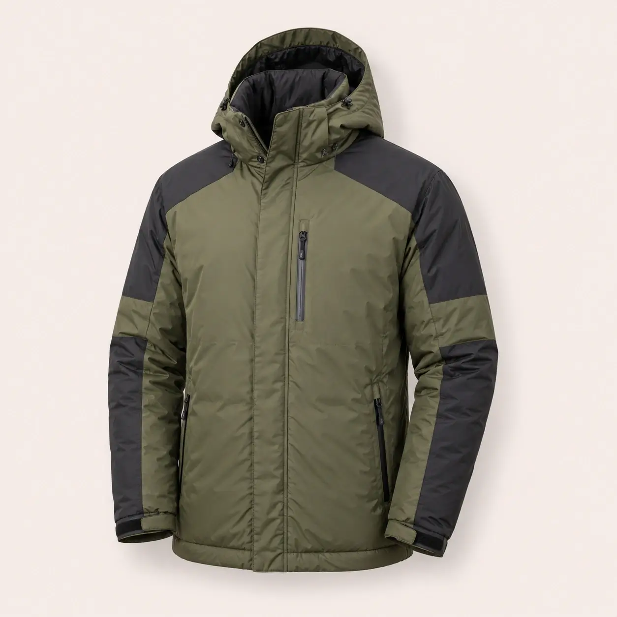
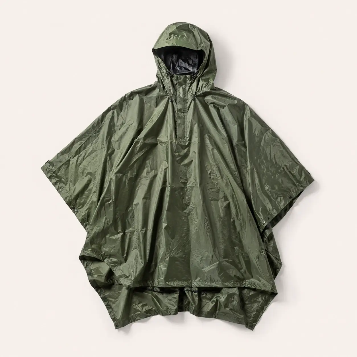
Rainfall during the monsoon can make the trail slippery, while winter conditions may require additional insulation, waterproof layers, and suitable footwear.
Always check a reliable weather forecast before departure and follow your trek leader’s advice. Mountain weather can change quickly, so carrying layered clothing and rain protection is recommended in every season.