The Pangarchulla Peak Trek offers much more than reaching a mountain summit. Its constantly changing landscapes make every day different, from peaceful villages and dense forests to open meadows and snow-covered ridges.
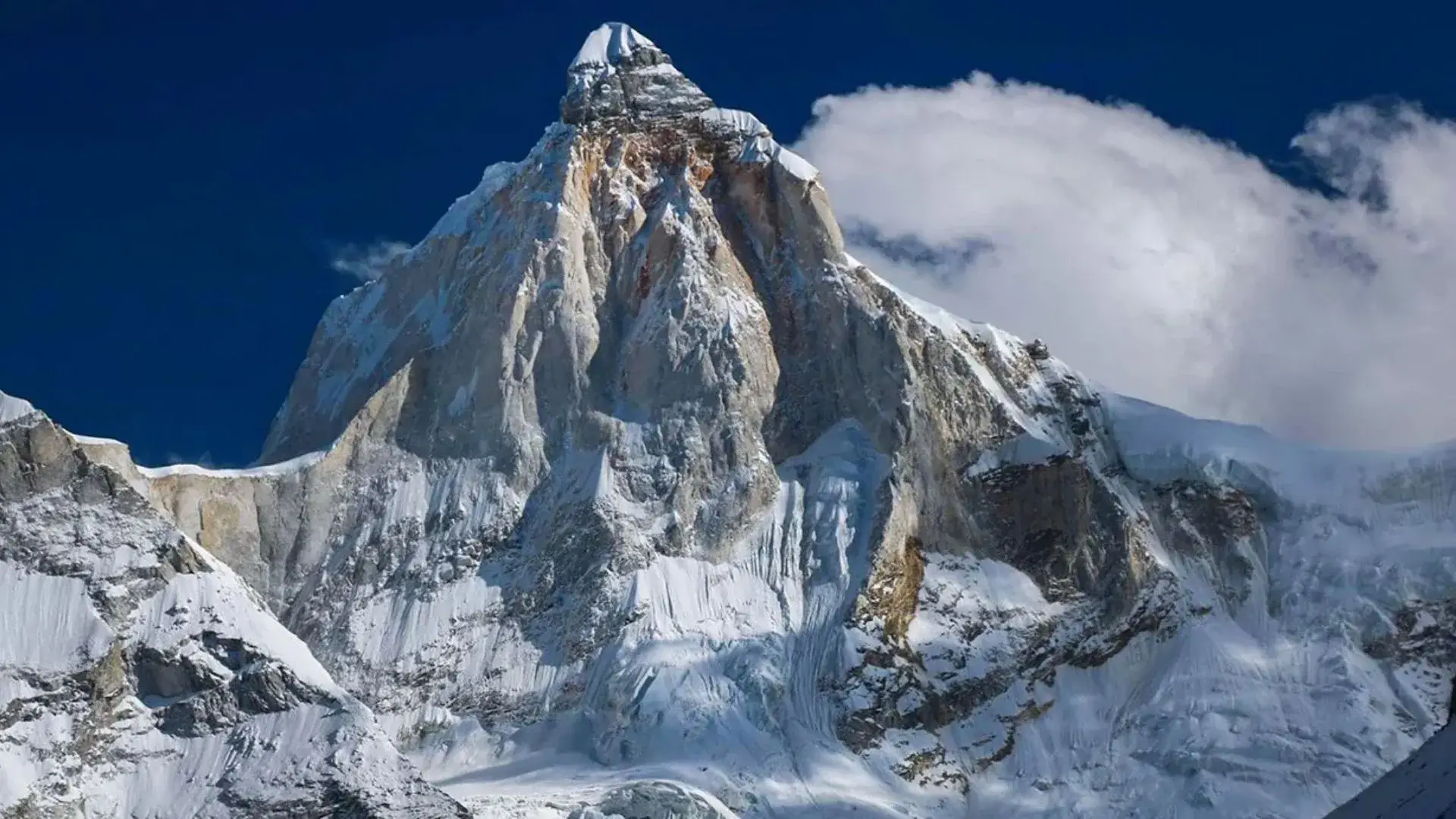
The summit provides panoramic views of Nanda Devi, Chaukhamba, Dronagiri, Hathi Parvat, Ghori Parvat, Neelkanth, Kamet, and Mana Peak.
The route also shares sections of the historic Lord Curzon Trail, which is associated with the famous Kuari Pass Trek.
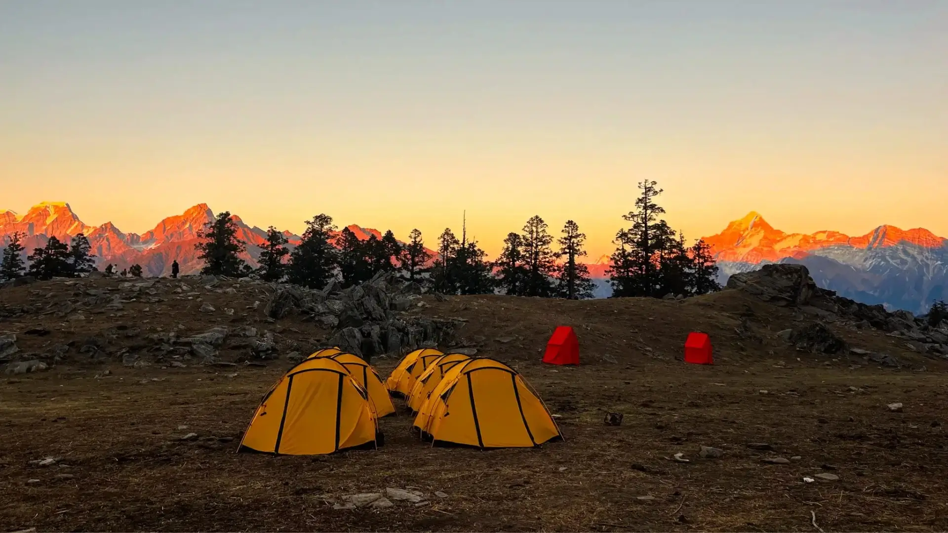
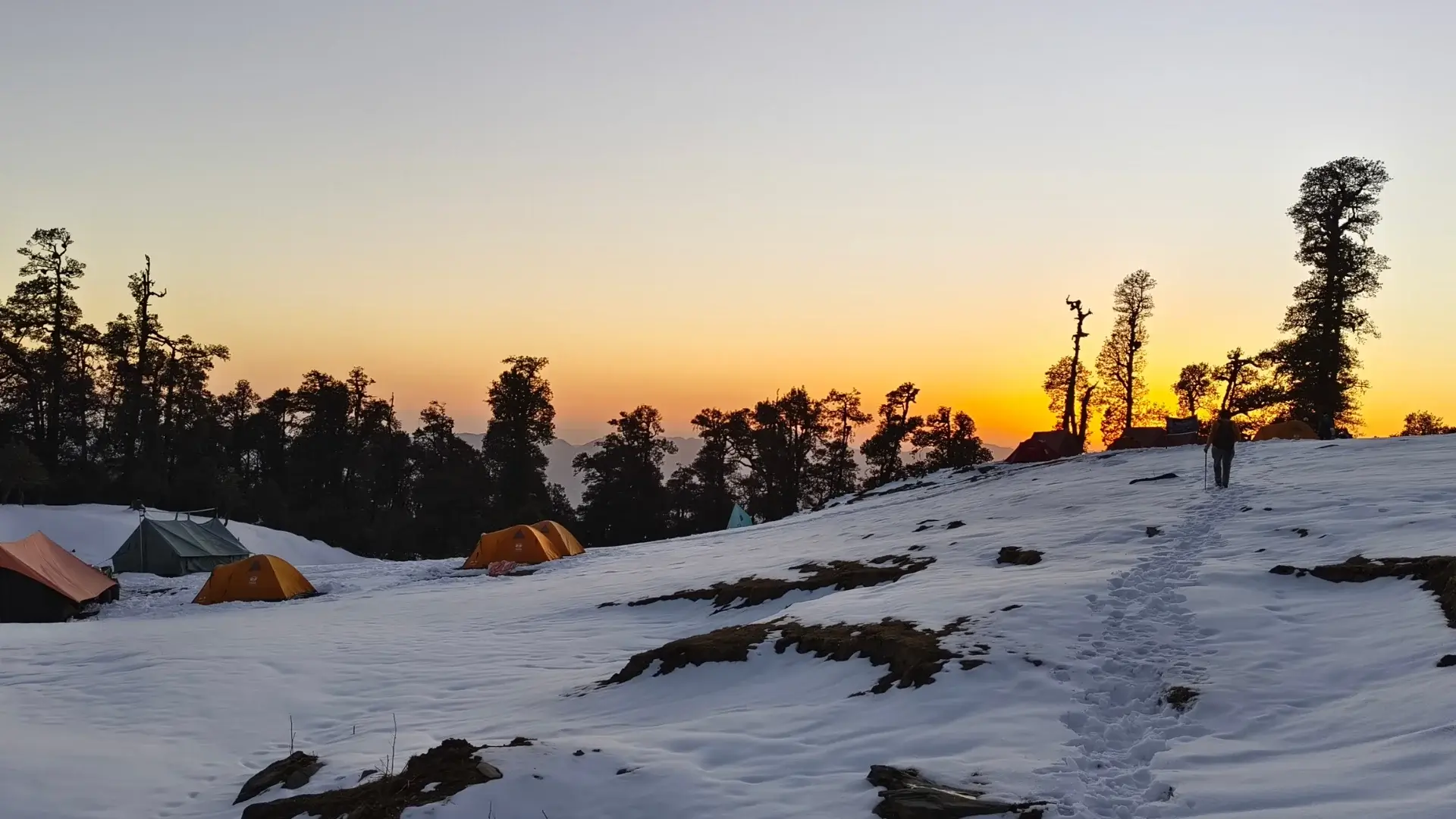
Camping at Gulling Top and Khullara allows trekkers to enjoy beautiful sunrises, peaceful mountain surroundings, and clear Himalayan views. During spring, rhododendron forests add vibrant colours to the landscape, while the higher trails offer exciting snow-trekking conditions.
Nature lovers may also encounter Himalayan birds, Himalayan monal, musk deer, and other wildlife, although sightings are not guaranteed.
Pangarchulla Trek Height and Altitude
The Pangarchulla Trek Height reaches approximately 15,069 feet (4,593 metres) above sea level.
As the Pangarchulla Trek Altitude increases, the air becomes thinner and trekking becomes more physically demanding. The final summit climb involves steep slopes, rocky sections, and snow-covered terrain, depending on the season.
Trekkers should follow a steady pace, stay hydrated, and pay attention to symptoms of altitude sickness. Proper preparation and guidance are important for a safer trekking experience.